🐚 Camino de Santiago
Camino de Invierno (Winter Way): The route pilgrims invented to dodge the snow, through the Ribeira Sacra.
This is the route medieval pilgrims came up with to avoid the snow on O Cebreiro in winter. It drops down along the Sil River, through the canyons of the Ribeira Sacra, past vineyards clinging to impossible hillsides and hidden monasteries. It's the least-known Camino—and probably the most beautiful.

Who it's for
For anyone who doesn't want to see another soul but does want to see something they'll never forget. Very few albergues along the way: you need to plan where you're sleeping.
The moment you'll remember
The Sil River canyons.
When to go
Apr–Jun · Sep–Oct.
In the app
- You pick this Camino and start it with one tap: your circle knows.
- Every morning, what lies ahead: the weather, the elevation, and an honest tip.
- When you arrive, "I've made it to the hostel" and a stamp on your credential.
- Your people see you advance; anyone without the app gets a link.
- When you reach Santiago, the scallop shell with your stages and your kilometers.
Stage by stage
The 10 stages of the Camino de Invierno (Winter Way)
The same stages you see in the app, with elevation profiles. Every morning, Estela tells you what's ahead: "flat day," "there's a climb," or "watch the downhill."
| # | Stage | Km | Back to top | Low |
|---|---|---|---|---|
| 1 | Ponferrada → Las Médulas | 26 km | +517 m | −287 m |
| 2 | Las Médulas → O Barco de Valdeorras | 30 km | +307 m | −726 m |
| 3 | O Barco de Valdeorras → Quiroga | 33 km | +446 m | −447 m |
| 4 | Quiroga → Monforte de Lemos | 33 km | +758 m | −796 m |
| 5 | Monforte de Lemos → Chantada | 30 km | +765 m | −475 m |
| 6 | Chantada → Rodeiro | 25 km | +575 m | −474 m |
| 7 | Rodeiro → Lalín | 23 km | +175 m | −257 m |
| 8 | Lalín → Silleda | 25 km | +226 m | −287 m |
| 9 | Silleda → Ponte Ulla | 28 km | +105 m | −488 m |
| 10 | Ponte Ulla → Santiago de Compostela | 22 km | +456 m | −264 m |
Distances and elevation gains are approximate—they vary depending on the route you take and the source. Always check the Camino's current status before you set out.
We answer your questions
Frequently asked questions
How many kilometers is the Camino de Invierno (Winter Way)?
275 km from Ponferrada, in 10 stages. 10 days · about 16 mi / 26 km per day.
When is the best time to walk the Camino de Invierno (Winter Way)?
The season the app recommends is Apr–Jun · Sep–Oct. For anyone who doesn't want to see another soul but does want to see something they'll never forget. Very few albergues along the way: you need to plan where you're sleeping.
What does Mi Estela do for me on this Camino?
Your circle sees you advance stage by stage, you let them know you've arrived at the albergue with a single tap (even with no signal—it goes out when it comes back), you send a link to anyone who doesn't have the app, you check tomorrow's weather and your stage's elevation, and you have SOS and the emergency number right at hand. Free for the entire Camino.
Do I need cell service?
Not for the essentials: the Caminos and your stages are saved on your phone, and alerts to your people go out on their own as soon as the signal comes back.
Other Caminos you might like
 Moderate
English Way from A Coruña
Where the sea brought pilgrims by ship to Galicia.
75 km · 3 stages · 3–4 days · about 25 km per day
See this Camino → Moderate
French Way
From the Pyrenees to Galicia — the big one.
800 km · 33 stages · 30–35 days · about 25 km per day
See this Camino →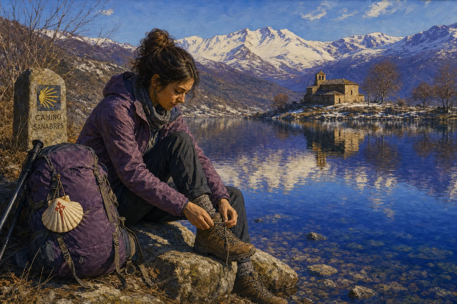 Moderate
Sanabrés Way
Sanabria, and into Galicia through Ourense.
380 km · 16 stages · 13 days · about 28 km per day
See this Camino →
Buen Camino. We're with you.
Download it free, choose this Camino, and invite whoever you want to walk with you from home.
Free to start · No ads · We never sell your data