Why the blue dot jumps and how phones locate you (GPS, Wi-Fi)
Your phone doesn't really “know” where it is. It estimates, using whatever signals it can find, and sometimes it gets your house wrong. Here's what it uses, why it struggles indoors and between tall buildings, what “approximate location” means, and which iPhone and Android settings fix it.

“It puts me on the next street over,” “it shows up at the neighbor's house,” “I was standing still and the dot moved 200 meters.” These complaints come up with every map-based app, and it's rarely the app's fault. It's how location works on a phone. Once you understand this, you also understand why the locator says “10 minutes ago”, or why your kid “was” at the bar downstairs.
What your phone uses to figure out where it is
- GPS (and Galileo, GLONASS…): satellites. It's the most accurate option outdoors (a few meters), but it needs a clear view of the sky. Indoors, in the subway, or between tall buildings, it either can't get a signal or the signal bounces around.
- Wi-Fi: your phone sees which networks are nearby and compares them with a database of where each one is located (Apple and Google collect these anonymously from phones). Indoors, this is what takes over, and it works even when you're not connected to any network.
- Cell towers: the roughest option, from hundreds of meters to kilometers. It's the “plan B” when nothing else is available.
- Bluetooth and sensors: nearby beacons, the accelerometer, the gyroscope and the barometer (to tell which floor you're on). They refine the estimate and fill in the gaps.
Apple puts it this way: GPS accuracy “depends on how many satellites are visible.” When something blocks them, the iPhone “uses Wi-Fi or cellular networks until it can see satellites again.” On Android, the “Google Location Accuracy” setting does exactly that: it adds Wi-Fi, cell towers and sensors to GPS. If you turn it off, “only GPS and device sensors are used.”
Why it jumps
- Indoors: GPS doesn't reach inside, so the phone relies on Wi-Fi, and Wi-Fi says “you're 20 meters from this router.” If your router sits against the wall shared with the neighbor, the dot lands at the neighbor's. The big blue circle around the dot is your phone saying “roughly here, but I'm not sure exactly where.”
- Between tall buildings: satellite signals bounce off the facades (the “urban canyon” effect), and the dot crosses the street on its own.
- When it's starting up: the first few seconds rely on cell towers or Wi-Fi, because GPS takes time to lock on. That's why the dot “corrects” itself after a jump when you step out of a building.
- To save battery: with the app closed, the system doesn't switch on GPS every second. It uses cell and Wi-Fi changes instead. We explain this in what a location app really drains.
“Precise location” and “approximate location”
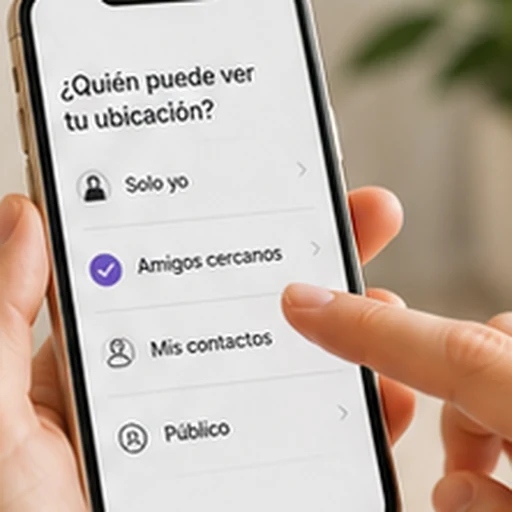
Since iOS 14, every app has a Precise Location switch (Settings › Privacy & Security › Location Services › the app). When it's off, the app gets a zone several kilometers wide instead of your exact spot. That's fine for the weather or the news, but useless for a family app or a delivery app. Android has the same option since Android 12 (“Use precise location” when you grant permission). If a family app puts you three kilometers away, this is usually the reason.
How to improve it
- Android: Settings › Location › Location services › turn on Google Location Accuracy, and turn on Wi-Fi scanning and Bluetooth scanning (these let your phone search for networks and beacons even when Wi-Fi or Bluetooth is off).
- iPhone: Settings › Privacy & Security › Location Services turned on; in the app, Precise Location turned on and, if you want it to work when the app is closed, the Always permission. Location permissions on iPhone and Android explains each option.
- Wi-Fi on, even if you're not connected to a network. It's what sharpens the estimate indoors.
- No aggressive battery saving for that app (Samsung, Xiaomi and Huawei tend to put apps to sleep, and then the dot freezes).
What a family app does with all this
It shows the dot honestly: when it was last updated, when it's approximate, and when the phone has no signal. In Mi Estela, each face shows when its position was last updated and has a colored ring (green when there's a signal, red if it's been without one for a while). Arrival alerts trigger when someone enters a radius (150 meters by default), and only when the status changes, from outside to inside, so a dot that jumps around doesn't set off repeated alerts. If you want to see how that works under the hood, read geofences and why they sometimes fail.
Sources
- Apple: “About privacy and Location Services in iOS, iPadOS, and watchOS”
- Apple: turning Location Services and GPS on or off (Precise Location)
- Google: “Understand the location settings available on your device” (Google Location Accuracy, Wi-Fi scanning and Bluetooth scanning)